How quickly it fills
Water appearing during the storm often reveals the active surface route and where concentrated inflow enters.

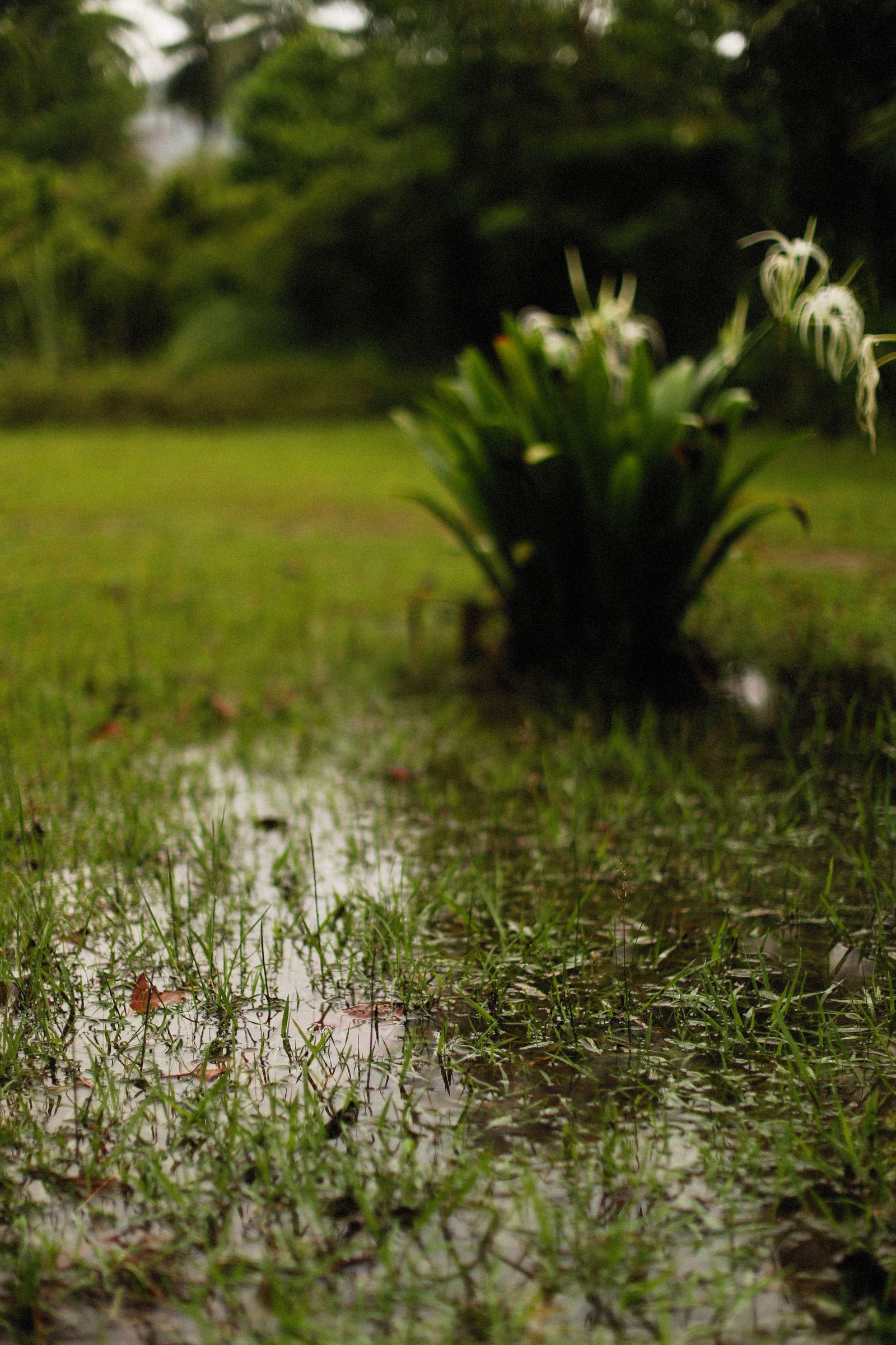
Treat the puddle as evidence: confirm the inflow, surrounding grade, duration, and outlet before changing the low area.
The puddle is the end of a story that starts uphill.
During rain, look for the first wet area, the direction of flow, roof or hard-surface discharge, uphill contributions, fence-line concentration, and the point where water slows. After rain, note how long each area remains wet.
Any proposed route needs a responsible private-property destination. This service content does not promise discharge to a street, curb, public drain, sanitary system, neighboring property, or any other place that requires public authority or specialist review.
Water appearing during the storm often reveals the active surface route and where concentrated inflow enters.
The time after rain helps distinguish a visible trapped pocket from a surface that simply stays soft.
No low-spot correction is complete until the next safe elevation and the property edges are understood.
A surface-grading project has to work during the next rain and remain practical afterward. The review therefore includes restoration, access, erosion control, and the proposed destination—not just the wet spot.
Record the source, high points, low points, hardscape transitions, property edges, and the direction water travels during a storm.
Compare regrading, a shallow swale, a low berm, or low-spot repair only when the visible surface and destination support it.
Plan final soil, erosion protection, turf or planting restoration, and maintenance so the new contour remains readable and usable.
French drains, grading, swales, and related private-property drainage can be considered. Curb cuts or penetrations, public right-of-way work, and municipal storm or sanitary connections are not offered.
Two checks that keep the first conversation about your property—not a generic product pitch.
Water can travel from a roof discharge, uphill grade, hard surface, fence line, or shallow soil before collecting at the lowest visible point. The full route matters more than the puddle alone.
Read the French-drain page for persistent shallow-soil water, the Yard drainage & regrading page for low spots and broad grade, the grading-and-swales page for visible surface flow, or the drainage-and-erosion page when soil loss is part of the pattern.
Send the address, storm timing, and a description of the full water path. We will use that information to compare surface and subsurface landscape-drainage options.
Form didn’t load? Call us at 405-529-9406.
Nothing is booked until you agree.